Columbus Steamboat Wharf
For 111 years the river was the city's front door — until war set an ironclad adrift and burning, and the steamboats slowly went quiet.
The Marker
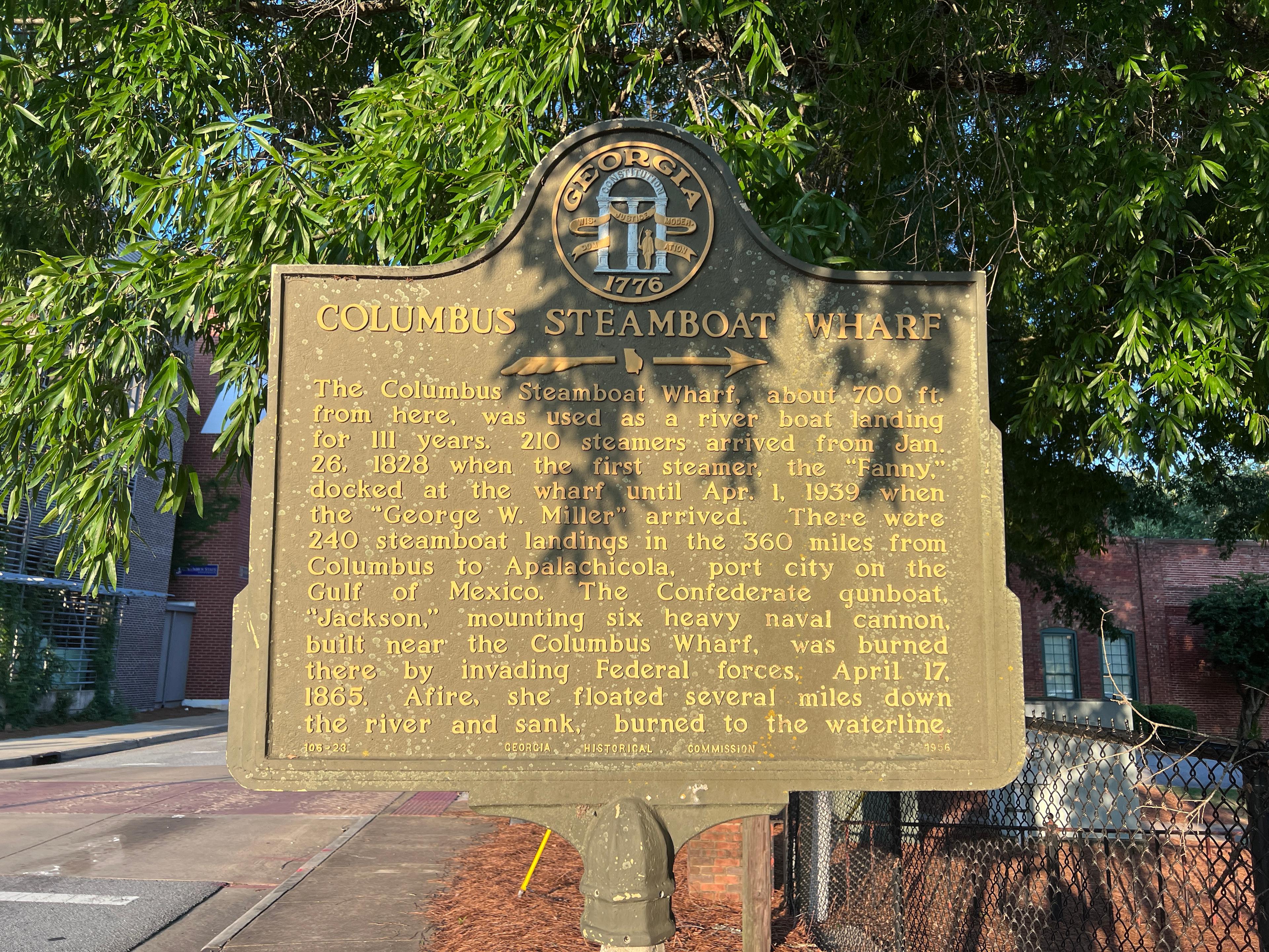
The Columbus Steamboat Wharf, about 700 ft. from here, was used as a river boat landing for 111 years. 210 steamers arrived from Jan. 26, 1828 when the first steamer, the "Fanny," docked at the wharf until Apr. 1, 1939 when the "George W. Miller" arrived. There were 240 steamboat landings in the 360 miles from Columbus to Apalachicola, port city on the Gulf of Mexico. The Confederate gunboat, "Jackson," mounting six heavy naval cannon, built near the Columbus Wharf, was burned there by invading Federal forces, April 17, 1865. Afire, she floated several miles down the river and sank, burned to the waterline.
Erected by Georgia Historical Commission, 1956.
Where it is
Street View, oriented toward the marker.
Sources
- Steamboats on the Chattahoochee River — Columbus, Georgia · Public domain (photograph published 1866; Florida Memory flags the item public domain). Courtesy State Archives of Florida.
- River Navigation: Steamboats and Those Who Challenged the Risks of the Chattahoochee — Historic Columbus Foundation
- Columbus Steamboat Wharf · Marker text is public factual information; the photograph is © the project owner.
- National Civil War Naval Museum (Port Columbus) — CSS Jackson — National Civil War Naval Museum / Wikipedia
- Slavery in Antebellum Georgia — New Georgia Encyclopedia
- CSS Muscogee — Wikipedia
About this film
The cinematic period scenes are AI-generated — a dramatized visualization, not real historical footage.
The narration is an AI-generated voice, not a human recording.
Archival imagery:
- Steamboats moored at the Columbus wharf on the Chattahoochee, 1866 (State Archives of Florida, Florida Memory; public domain).
More Markers
Nearby stories worth a look.
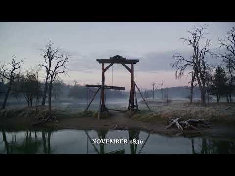
Six Indians Hanged
Phenix City, Alabama
Near this spot in 1836, six Creek and Yuchi men were hanged — the end of a last, doomed uprising on the Chattahoochee.

The Tie-Snake
Phenix City, Alabama
The Creek told of a serpent that dragged people beneath the Chattahoochee. The folktales recorded alongside it would echo, years later, in the Uncle Remus stories.

Mirabeau Buonaparte Lamar
Columbus, Georgia
He founded a Columbus newspaper, rode west into a revolution, and became the second president of the Republic of Texas.